Some residents of the Parish may wonder where the street names in the new development have come from.
In the face of the Monkton Heathfield Urban Extension, and loss of agricultural land and farms in the Parish, the Parish Council determined to try to commemorate local family, field and farm names in the street names and areas of the new development so that some very local history would be retained. Since building began, West Monkton Parish Council has supplied lists of local names to the Address Management section at Somerset West and Taunton Council. Some examples:
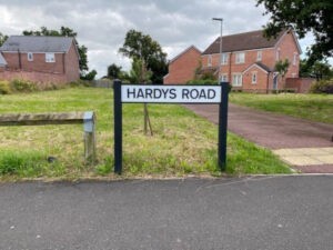
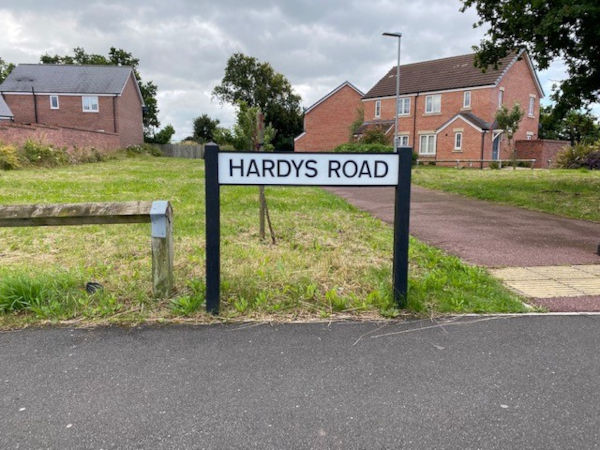
Hardys Road is named after the very long serving Headmaster of the former West Monkton Secondary Modern School (now Heathfield School). He lived in West Monkton and served in St Augustine’s Church as a sidesman.
Schofield Close is named, not after a previous vicar at St Augustine’s , Rev Rodney Schofield, but after a very doughty resident who led the campaign of fundraising for the new West Monkton Village Hall, in 1977 Silver Jubilee year, which replaced a wooden hut on the same site called the Victory Village Hall. She was Chairman of the Village Hall Management Committee for many years after the Hall was built. Miss Schofield had worked for the United Nations after the Second World War, re-housing refugees.
Reeves Place is named after the former Chairman of the Parish Council who served the Council for many years and headed up the production team who published ‘West Monkton Then and Now’ in the Millenium Year 2000 (now sadly out of print). He was a deputy Headmaster at Kings Hall, but after his retirement enjoyed the local steam railway to Minehead and the various Steam Fairs held in the County.
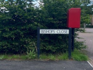
Saffin, Bishop and Leach are names of longstanding village families who contributed to the community in various ways.
The Warren family farmed at Hartnells Farm for very many years and the roads of that estate celebrate members of the Warren family.
Mr Sellick was the farmer of Birds Farm on which the Aginhills development was built. His farmhouse and barns are converted into residential accommodation. Walkers Rise is named after a resident of the village who ran a prescription collection service for the elderly of the village for years, even though she was as old as the ‘elderly’ she helped out. She always had a cheery smile, and was an enthusiastic supporter of the Quiz nights held in the Village Hall.
Furs Close is the name of a local farm field (furze being a local name for gorse), as is Glebelands.
Ginger Place and Bawler Road are names of former farms in the area.
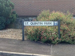
St Quintins was built on the site of the former St Quintins Hotel and caravan/camping ground. Local families would take their children to the hotel to enjoy watery fun and games on the canal, or table tennis in the grounds. The little shop (for caravaners and campers) was blessing for locals who found themselves short of bread or milk!
Acacia Gardens was built on the site and in the grounds of Acacia House, which had a huge Cedar tree in its front garden.
Many of the families remain in the area.
Other names given to the Address Management section at SWTC include more field names, some historic family names, and locally grown species of wheat and apples.
Some names are the developers own choice – for example Deer Park, Farriers Green.
Maybe other readers recall the parish as it was 50 years ago and would like to contribute to this dialogue?